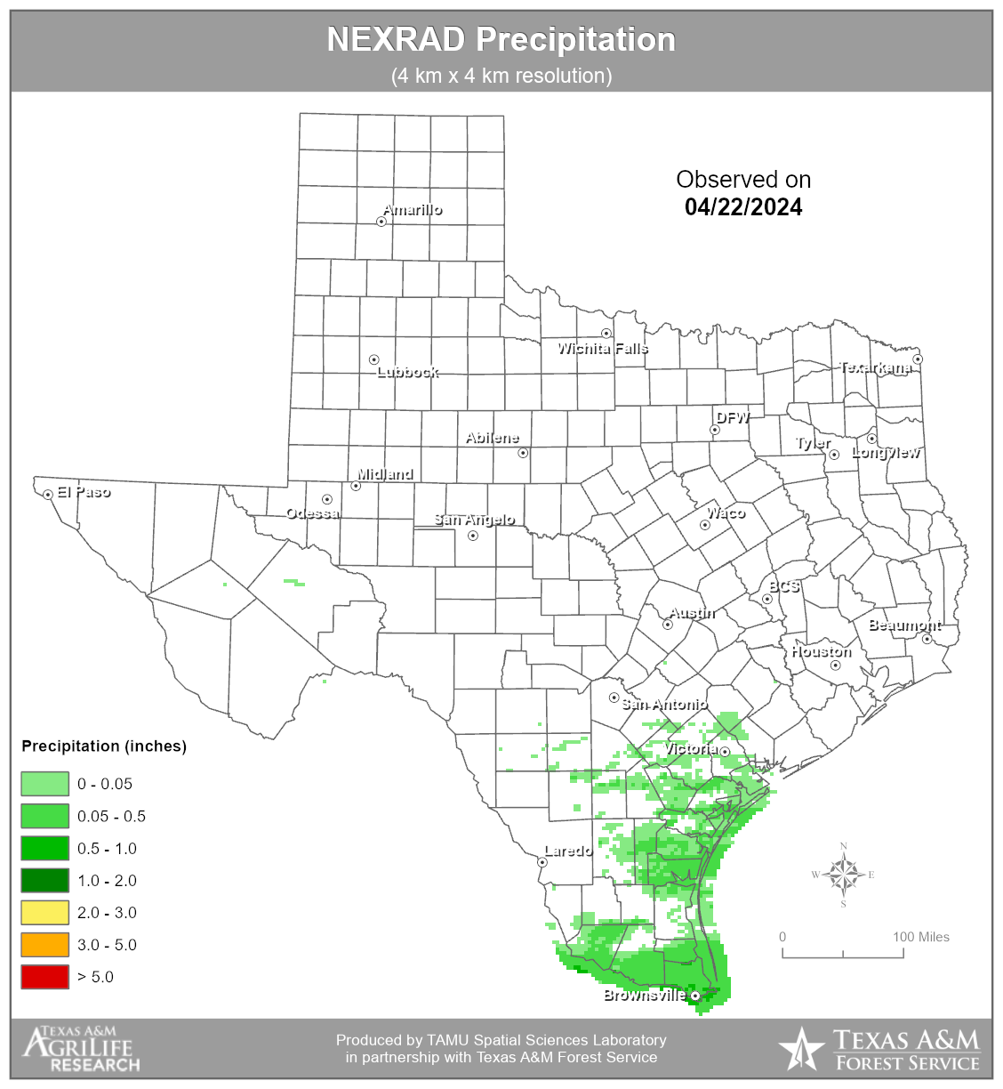
Next Generation Weather Radar (NEXRAD)
Ground based radar has been gaining popularity for estimating precipitation due to its high spatial and temporal resolution. The National Weather Service (NWS) produces gridded precipitation estimates as part of its NEXRAD program. NEXRAD offers precipitation estimates spatially averaged over grid cells of approximately 16 square kilometers and temporally averaged over 1 hour.
Precipitation data from NEXRAD radar is obtained daily through a memorandum of understanding signed by the NWS-RFC and Texas AgriLife Research. This data is currently being used by the SSL to maintain existing products, as well as develop runoff and stream flow maps.
Download data for 4/22/2024 or select another date below:
Launch the NEXRAD interactive map to zoom
in and view NEXRAD precipitation levels over the past week in your area.